Ottawa Ontario - To mark our 175th anniversary year, we feature a different front page each week from past editions of the Ottawa
Citizen.
Today: 23 Dec 1947.
"Final Plans For Great Capital of Future" the Citizen's front page headline proclaimed just days before Christmas, 1947, as Fred Bronson, chairman of
the Federal District Commission, the organization known today as the National Capital Commission, announced a bold 50 year plan to give Ottawa a
facelift.
Industry and transportation were most affected, starting with Union Station, at the time situated directly across from the Chateau Laurier
hotel.

It would give way to a new train station that would be constructed, two miles south of Billings Bridge, and a quarter mile east of Bank Street, off
Walkley Road, roughly where the Ontario Ministry of Transportation's DriveTest site is currently located.
This would, in turn, allow most of the train tracks that criss-crossed the city to be removed, including the CN tracks crossing Bank Street, the CP
track that carried trains over the Alexandra Bridge into Hull, and those that now carry O-Train passengers along OC Transpo's Trillium line from Bayview to
Greenboro stations.
The busy railway operations in LeBreton Flats and Chaudiere district would disappear, as would those between Union Station and the Rideau River.
A new bridge crossing the Ottawa River, via the Duck Islands, near Shefford Road, would be built, while the various transportation systems in the area,
including the Ottawa Electric Railway, the Hull Transportation company, and the Eastview Bus company, would be amalgamated into one.
Industry along the Hull waterfront, meanwhile, was to be eliminated, replaced by the creation of 6,600 acres of industrial areas, of which more than 60 percent
would be in Gloucester, 25 percent in Gatineau and Hull, and about 15 percent in Nepean.
"This," said Bronson, "is the day to which I have long looked forward. This is the day I have been wanting to happen for quite a
while."
The plan to move the train station to Walkley Road, he noted, involved thinking more of 1975 than 1950.
"This whole area south of Billings Bridge is one of the finest industrial areas the district has, and it is beginning to be built up.
"At the same time, industries are beginning to creep in. So we have acted quickly, to produce our plans, and enable industry to see where its factories
and plants may be located in the future."
Bronson admitted that the plan, at the time simply a recommendation by the national capital planning committee, might take as long as 50 years to complete, but
he was convinced that after a year of looking into the matter, it presented "an ideal solution for a capital area."
But it was, he stressed, now up to the municipalities to act to carry the plan forward.
"This is definitely the end of the beginning. Because, if it is not, and the municipalities are not interested, and the plan is not passed, then this is
the beginning of the end," he said.
It might more accurately have been described as the beginning of the beginning.
Three years later, Jacques Greber's nearly 400 page Plan for the National Capital, which included many of the recommendations of Bronson's report, was
released.
It became the blueprint for Ottawa's growth for decades to come.
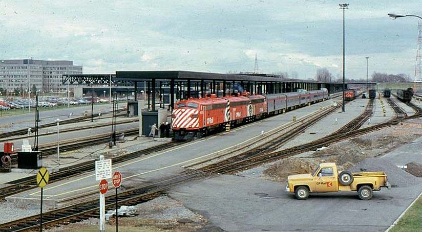
Union Station continued to serve passengers until 1966, when construction of the new Ottawa station at Tremblay Road was completed.
Recently renovated, the old station is now home to the Senate of Canada, as renovations to Parliament Hill's Centre Block continue.
Bruce Deachman.
(because there was no image with original article)
(usually because it's been seen before)
provisions in Section 29 of the Canadian
Copyright Modernization Act.

