LINKS
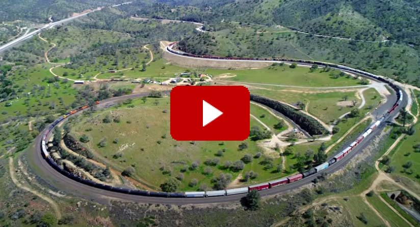
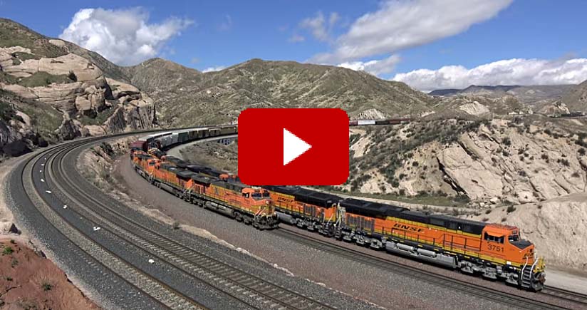
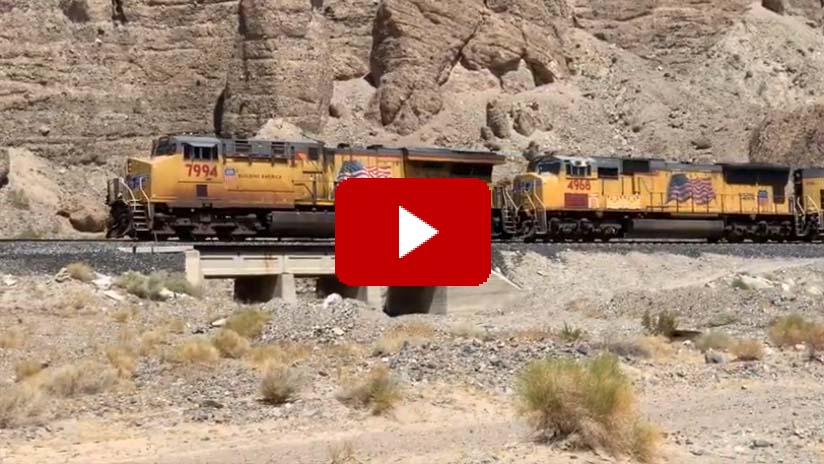
Tehachapi Loop - Video captured by a Phantom 4P drone shows the Tehachapi Loop tracks at Tehachapi, California, with operating trains over a mile long. Completion of this loop track in 1876 kept the maximum railway grade to 2.2 percent so trains can climb out of the San Joaquin Valley over the Tehachapi Mountains through Tehachapi Pass to cross the Mojave Desert along a route south to Los Angeles.Cajon Pass - World famous Cajon Pass lies between Victorville and San Bernardino in the San Bernardino Mountain Range. Both Union Pacific and BNSF trains traverse the 2.2 percent grades of the pass. BNSF's Cajon Subdivision offers 3 mainline tracks that both BNSF and Union Pacific trains use. Included is various BNSF and Union Pacific action along the 3 mainlines of the Cajon Subdivision. Sullivan's Curve located near the middle of the pass is another area featured which offers stunning views as the tracks curve around the rocks and hills of the pass.Afton Canyon - A short video including drone footage taken at Afton Canyon in the Mojave Desert near Barstow, California. The canyon is the current route of the Union Pacific Railroad and historically was the route of the old Mojave Road that was used in wagon train days for crossing the desert from the Colorado River to Barstow. Today the access is by hiking or 4x4 vehicle with care needed when crossing a deep section of water at the West end of the route.Union Pacific Diesel Roster (resource not found)
Burlington Northern Santa Fe Roster
Tehachapi Depot Destroyed by Fire
Tehachapi Double Tracking Project
Tehachapi Depot Railroad Museum
Cajon Pass in Southern California
Railroads of the Mojave Desert
California Railroad Scanner Frequencies
Fred T. Perris
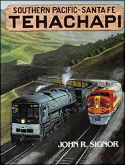
Southern Pacific Santa Fe Tehachapi
John R. Signor.1983Golden West Books.Hardcover.272 pages, 9 x 11.5 inches, $79.93 (Amazon)As with all John Signor's many books, he puts you there in the places he writes about. The photography is well chosen and is a balanced part of the whole picture. It's not just the locomotives and rolling stock, Mr. Signor has a superb sense of place and time. The balance of all the factors needed to understand a specific place served by a railroad is a hallmark of this author's work. Each factor, his skilled writing, the choice of photography, the color art, the use of detailed maps, and long-distance views put together an experience of place and time for the reader. Not incidentally, the volume itself is high quality and put together in a very sturdy way to survive decades into the future. This is a book to come back to and to pass on to someone who appreciates trains, railroads, and the unique view inside Mr. Signor's books.Railroading Tehachapi on a Desert Mountain
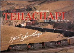
Steve Schmollinger.1993Boston Mills Press.Hardcover.160 pages, 12.2 x 11 inches, $32.43 (Amazon)I first saw pictures of Tehachapi in a circa 1974 issue of Rail Classics magazine. The pictures even then conveyed an image of pure power as the two competing railroads, Santa Fe and Southern Pacific, battled the harsh environment of the Tehachapi Mountains, with its steep grades and the equally harsh Mojave Desert that surrounded it. The photographs of trains crossing over themselves at Tehachapi still evoke the images of roaring machines over steel. The photographic work of Steve Schmollinger is second to none, as he captures all the moods of Tehachapi, as well as gives good balanced coverage of the two railroads that operate there. Maps at the beginning and end of the book are well laid out, with each prominent place recorded. A particularly interesting part of this book was the section on the SP Oil Can trains. These dedicated trains ran crude oil from Bakersfield to Los Angeles daily during the 1980's and 1990's. Schmollinger gives great detail how Shell Oil and SP coordinated their efforts over what is probably the most difficult terrain to run such a train. The pictures of this train's movements are incredible, particularly the photo of the Oil Cans emerging from a tunnel complete with notch eight helpers producing copious amounts of black billowing exhaust. The only place that could possibly rival Tehachapi in terms of brute force would be CP's Kicking Horse Pass in British Columbia. I purchased this book many years ago, and to this day it is by far the best railroad book I own!Train Watching in the Tehachapi Pass
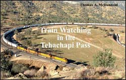
Thomas A. McDannold.2003Heritage West Books.Paperback.96 pages, $69.98 (Amazon)This book brings the hobby of train watching to everyone using the Tehachapi Pass as its setting. Extending from Bakersfield to Mojave, it includes the world famous Tehachapi Loop. It covers public access places to watch, when to go, freight locomotive and car identification guides, radio scanner frequencies, GPS waypoints, train watching safety, horn signals, train-related family activities, and accommodations in Bakersfield and Tehachapi as well as a glossary and index.Railroading through Cajon Pass
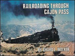
Chard L. Walker.1978Prototype Modeler, Inc.Hardcover.$83.95 (Amazon)For decades Cajon Pass has been considered one of the wonders of Western Railroading by the fraternity of railroad enthusiasts who are thrilled by the sight and sound of trains ascending and descending mountain grades. Ever since the late Herb Sullivan began photographing trains in the Pass, an increasing number of railfans have visited the area to watch, listen, photograph, and tape-record the continuing drama of railroading in one of its most spectacular settings. This book tells the complete story of Cajon Pass in words and photos, augmented by plenty of maps, from the very beginning right up to the mid-1970's as gathered and written by a railfan and railroader who was there at the right time.Cajon
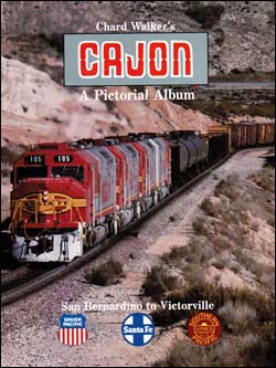
Chard L. Walker.1990Trans Anglo Books.Hardcover.184 pages, 9 x 11.5 inches, $18.99 (Amazon)A handsome collection of photos by Walker and contributors. Some 120 color and 175 black and white photos detail this tough mountain pass from San Bernardino to Summit and downgrade to Victorville. No index or bibliography.The Cajon Pass
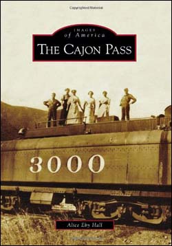
Alice Eby Hall.2009Arcadia Publishing.Paperback.128 pages, 6.5 x 9.2, $28.15 (Amazon)California bloomed when modern men conquered Cajon Pass. California's two transverse (east to west) mountain ranges, the San Gabriel and San Bernardino, prevented commerce east between two-thirds of Southern California and the rest of the state. Cajon Pass, the low point between the two ranges, was first opened to business by roads that generally followed old Native American trails. When railroads pierced the divide in 1885, Northern and Southern California and states to the east benefitted. Utility trunks followed, first electrical power in about 1912, followed by telephone, and finally natural-gas pipelines. Courageous, tireless, independent pioneers settled Cajon Pass while looking for gold, mining lime, and nursing water from the ground to satisfy needs of livestock and crops. Even today, the Burlington Northern Santa Fe and Union Pacific Railroads run their busiest freight transport tracks through Cajon Pass.Afton Canyon Mini Map and Field Guide
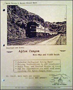
Sam Pottinger.1991Steel Rails West.Stapled.10 pages, $??.?? (Amazon)Guide to watching trains in and around the Afton Canyon. Includes maps with a guide detailing how to get to different viewing spots and what can be seen, radio frequencies, accommodations, stations, track profile, and timetables. Illustrated with black and white photos. Three hole punched for use in a binder.
